Arkansas River Crossings
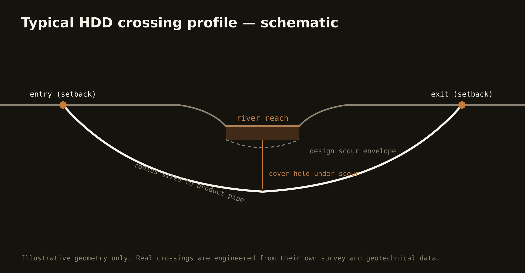
The Arkansas bends through Tulsa's front yard — a wide, sandy river whose daily character answers to Keystone Dam upstream, dressed downtown with the low-water dam and the river-park frontage the city prizes — and crossing its corridor is the signature Tulsa bore. These are engineered shots under managed water: entry and exit set back from banks and levees, a profile holding cover beneath a channel whose sandy bed and braided habits move with the releases, and depth carried against scour in a river that can run near-empty or bank-full by upstream decision.
The authority stack fits a regulated corridor: the dam's federal operators whose release schedules shape work windows, the levee districts whose west-bank works protect the refinery flats with engineering criteria of their own, state water-quality oversight, the river parks' stewardship through the city reach, and the road or rail owner overhead. Navigation interest lives downstream — the port's channel runs up the Verdigris to Catoosa — and joins the stack where alignments reach it. Our quotes map the stack for your actual reach and schedule to its real clocks, releases included.
Technically these are sand-channel shots over the region's rock: the sag often rides the alluvium-to-bedrock interface, geotech answers where that is, and fluid discipline runs tight — a braided sandy channel telegraphs returns quickly, so containment stages on both banks and the response plan is written before the pilot turns. The same doctrine covers the Verdigris, Bird Creek, and Polecat Creek at their own scales.