How Directional Drilling Works in Tulsa Ground
Green Country's grain: benches and valleys
Tulsa's geology folds where the state's does: the metro sits at the plains' eastern edge, where Pennsylvanian sandstones and shales stack into the wooded ridge-and-valley country that runs toward the Ozark approaches. The shales drill steady; the sandstone caps and channel bodies are the firm punctuation — real rock classes that reward proper tooling and punish plains pricing; and topography is the tell, since the ridges usually are the sandstone. Bench-and-valley quoting names the expected members per reach, prices sandstone footage as its own class, and lets geotech sharpen the map. It's a different grammar than the red-bed flats two hours west, and the quote speaks it from the first line.
The pipeline inheritance
The Oil Capital's century left the metro two underground legacies. First, corridors: transmission and gathering lines thread this region more densely than almost any metro, each an operator-governed authority wherever an alignment approaches. Second, culture: subsurface records, locate discipline, and bore-plan fluency here are exceptional, because this town invented much of the trade's vocabulary. The practical translation — pipeline coordination is a standing scope line, and the conversations run efficiently because everyone at the table grew up having them.
The sequence, Green Country edition
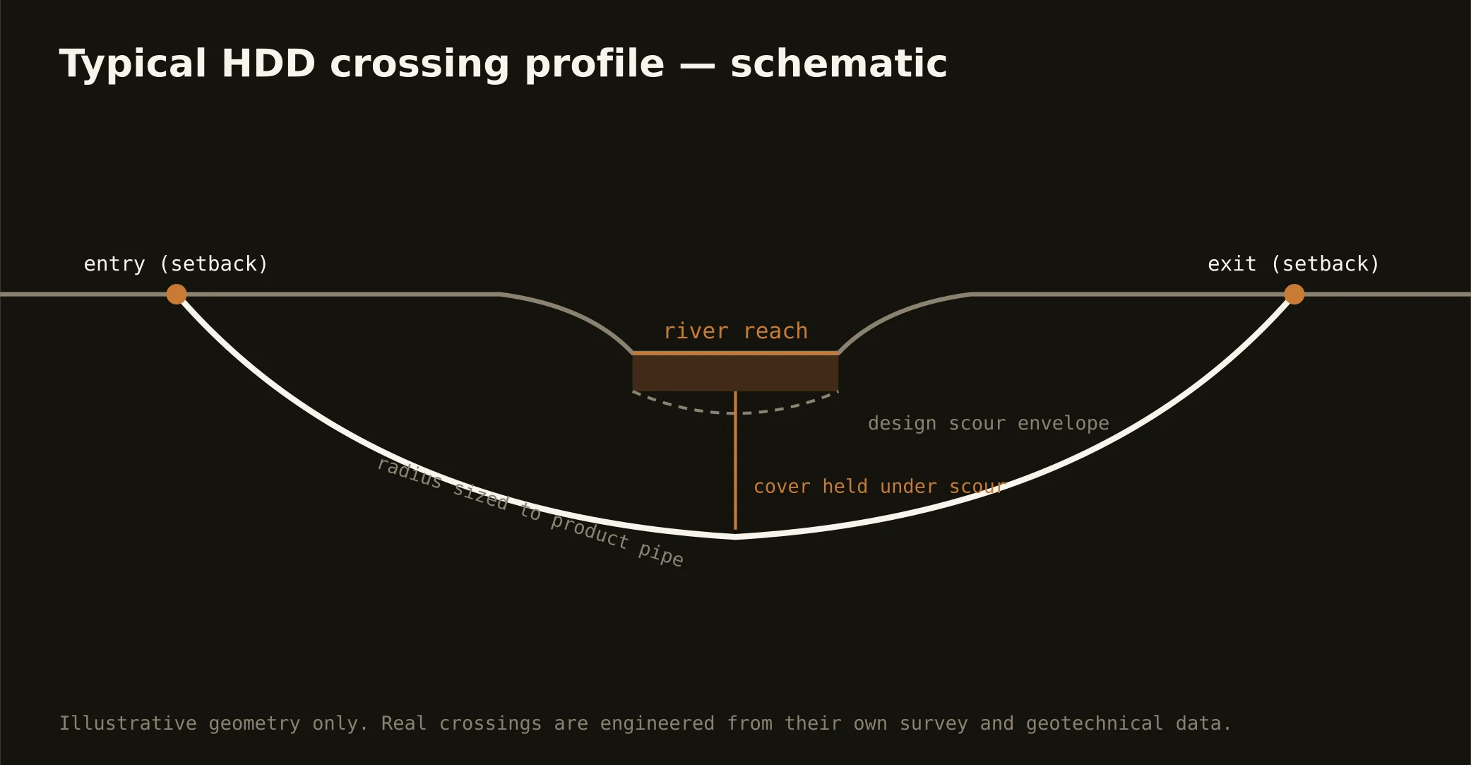
The bones are standard — One-Call locates plus private designating, potholes on every claimed utility, pilot on profile, ream to about one and a half times the product, pull, restore. Tulsa bends: cap tooling staged where the ridges say so, pipeline-corridor standards honored where the map says so, ice-storm season respected in the wooded hills' scheduling, and restoration that treats midtown's brick streets and ranch-country bar ditches as the different surfaces they are.
Who owns what you're crossing
Municipal streets carry their cities' processes; county roads carry seven departments; the state system runs on ODOT utility permits; the toll spokes run on the turnpike authority's own paper. The Arkansas corridor brings federal dam operations, levee districts, and river-park stewardship; pipeline operators govern their corridors; railroads permit theirs; and Osage County adds the Nation's sovereign jurisdiction and county-wide mineral estate — a coordination step taken early, directly, and respectfully on west-side work. The quote names every owner on your alignment; each one is schedule.
Straight answers
Will you hit rock on my bore?
In the hills, plan for the sandstone somewhere — the caps and channel bodies are Green Country's signature, drillable with the right tooling and priced as their own class. Valley shale runs are the gentler default between them. The quote names the expected member for your reach; geotech turns the topography's hint into a plan.
How deep do bores run under Tulsa streets?
Cover follows the owning authority's standard — city, county, ODOT, or turnpike — and sits below everything potholed on the alignment; river and rail crossings run deeper on their own engineering. In bench country the depth can pick the rock, so the bore plan states both your number and your member.
What's different about working in Osage County?
Sovereignty, respected properly: the county is the Osage Nation's reservation and the Nation's mineral estate underlies all of it, so Osage-side work adds the Nation's coordination to the usual county and state machinery — engaged early and directly as a genuine scoping step, not an afterthought. Priced plainly, scheduled honestly, handled with the respect a sovereign authority is owed.
Ready to put a number on a real crossing? Send the scope — a person prices it.